Dust flux, Vostok ice core

Dust flux, Vostok ice core
Two dimensional phase space reconstruction of dust flux from the Vostok core over the period 186-4 ka using the time derivative method. Dust flux on the x-axis, rate of change is on the y-axis. From Gipp (2001).
Showing posts with label water. Show all posts

Friday, January 12, 2018

Water resources in Ancient China, part 2: Hot springs in Xi'an

In Xi'an over New Years. Xi'an was a former capital of China during several dynasties, particularly the Tang Dynasty, at which time it was known as Chang'an. There is a reconstruction of what the city looked like during the peak of the Tang Dynasty, when it was the most populous city in the world.


Water, was of course, of paramount importance, and I seem to recall that the capital had to be moved numerous times because of drought. Building canals was one of the solutions over the past millenia.

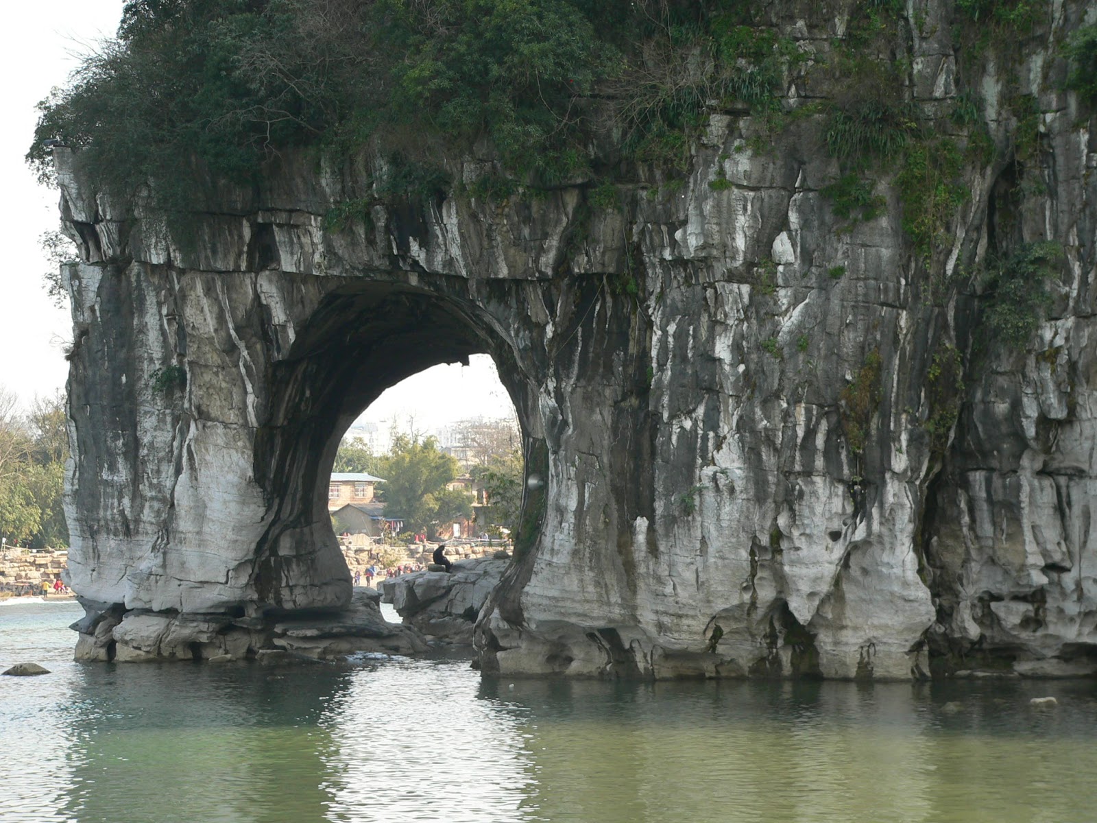
Xi'an (then Chang'an) had something that other potential capitals, such as Luoyang and Xuchang lacked--natural hot springs. What could be better in a cold climate (especially in winter) than an apparently inexhaustible supply of hot (43C) water? The Tang emperors knew a good thing when they saw it, and built a palace (the Huaqing Palace) on the site.


The palace complex is quite considerable, and includes a number of temples. It had been built on the site of earlier palaces as well, all of which took advantage of the hot springs.

The Emperor in question, Xuanzong, was renowned as a musician (and, according to the tour guide, was regarded as the most romantic emperor in history).


Being musically minded, it seems natural he would fall for a dancer.


The story follows that this same emperor really knew a good thing when he saw it, as he next built a special pool for the dancer--his favourite concubine. So the guide asks, "Do you know what made her so beautiful? It was because she was fat." This makes sense. Fat people are well-fed, and well-fed people are more likely to have healthy children.


Hot water bubbles up from the earth, emerging at the foot of Li Shan, and is conveyed by a series of pipes to a number of pools. Note the hot water emerging from the dragon's mouth in the above picture.


The imperial bath is octagonal, symbolizing the eight directions. The upper shape is that of a lotus, which is the symbol of purity.


Part of the imperial changing room


Yang Guifei's (the concubine) pool. The hole in the centre was not a drain--at one time there was a pipe there and the artesian pressure was high enough for a shower. Now that was luxury.


So after all this build-up about how fat the concubine was, we arrive at her statue.


Perhaps I am a bit jaded, but she doesn't seem fat to me at all. And I know fat--I'm from North America. Maybe she's fat by Chinese standards.


Modern Chinese woman in Shanghai.

And as for the "most romantic emperor" in Chinese history? Eventually, there was a rebellion, which he was too busy enjoying himself in the pool with his beloved to pay much attention to. They had to flee for their lives, and his soldiers blamed the young lady for the troubles of the state, telling him that they would not defend him anymore unless he disposed of her. And what does a romantic emperor do? Off with her head! In the struggle between love and power, there can only be one winner. It's a disappointing ending, but not as disappointing as it must have been for the young lady.

Wednesday, February 24, 2016

Karst features of Guilin, part 2

In our last installment, I showed you some images of karst terrain near Guilin.

That is what is above the surface. Today let's look at what lies beneath.

Karst topography arises from dissolution of carbonate rock. But most of this dissolution does not occur at the surface. It occurs at depth. Today's feature concerns spelunking.

There are numerous caves in and around Guilin. Now, one of the charming things that the Chinese like to do in their natural parks is to "improve on nature" a little bit. In the caves, this was mainly in the form of strange lighting, but I suspect in a couple of areas, there was a little bit of construction as well.

Okay, I get it. You are trying to attract tourists to the caves, and they really aren't that interested in actual geology. Instead you talk about how this group of stalagmites over here resembles the Buddha giving a talk before the assembled monks, and this formation over here looks like ice cream, and this column over here resembles a dragon, and this one looks like Orlando Bloom smoking a joint (ok, I made up the last one).


The dissolution of rock makes the hole. If it is entirely underground, we call it a cave. Some of these features from holes or tunnels through masses of rock, like the examples above--most people don't think of these as caves.

On the flip side, once water levels fall, and the cave is dry, you start to get precipitation of minerals in existing spaces at all scales.


Stalactites, stalagmites, columns.


Flowstone.

The caves above include Seven Star Cave in Guilin, and the Silver Cave in Yangshuo.

Saturday, February 20, 2016

Vignettes of water in China

Whistling up the line from Guangzhou back to Zhengzhou at 300 km/h. The landscape blurs by, first high hills and flooded paddies, people out in the fields planting and tilling (enjoy your winter, Canada!). The hills are the bright red and orange of tropical soils, deeply incised by rushing waters. After a time, the hills become strange and solitary, and then we are north of Changsha, and the land flattens out. The last few hours are spent over a plain as flat as anything in the prairies. Occasionally a little stream is guided by a high levee over a plain that would otherwise lie below the water. But as we go farther north, the streams and rivers are cut into the plain, and the levees are gone.

In the south, the planting is well underway. Not so in the north, where two weeks ago, the fields were still dusted in snow.


Now they just look a tad dry.


- - - - - - - - - - - - - - - - - - - - - - - - - - - - - - - - - - - - - - - - - - - - - -

When I moved to China 18 months ago, I was in pretty bad shape. I had reached the terminal phase of a long-term illness. One reason I moved to China was because the soil mineralogy was favourable for my condition. Other places I could have gone to were India and Egypt. Egypt I rejected for political reasons. India I rejected because I feared I would melt. Plus the culture of China was more favourable for me, apart from the little problem of not being able to speak much Chinese.

Within two months of arriving, my energy levels had improved, and I had noticed a tremendous improvement in my fingernails. That may sound trivial, but having bad nails is a sign of mineral problems. Mine were weirdly thin, they would fracture along crescents, and were deformed. After a few months in China, they looked normal.

The soils of China and India (and the Nile delta) are extremely mineral rich. This explains why for much of recorded history, the population of China and India has been so large.

The richness has to do with water.

A search of "Geography is not destiny" on Google shows this is a quote that has been used many times in many situations. However, it seems that "geography is destiny" also appears as a quote in many works. This being the World Complex, we will say that geology is destiny. In this case, the assembly of many subcontinents into one large continent (Asia), combined with the geologically recent rise of the Himalayas, results in the most powerful monsoonal climate pounding against a rapidly rising mass of rock. The end result is torrents of water rushing out of the mountains, flooding both China and India with mineral-loaded water--the minerals being eroded rock dust from the mountains. Thus every year the soils in these countries are recharged not only with water, but with minerals.

Over time, the Chinese (and the Indians) learned exactly what to do with water. Their agricultural system depended on the flooding. The Han people spread out over the plains, and the minority people were left to struggle on the flanks of mountains, and in other areas that were too marginal to be of interest to the dominant Han.

What was their answer?


Terraces. Lots and lots of terraces. These are Longji terraces, a couple of hours drive from Guilin.

These are a bitch to water. If you are lucky, there may be a stream flowing down from the top of the hill. Some of these have to be watered by pumping water up the hill one terrace at a time.

- - - - - - - - - -

Water is central to Chinese culture--so much so that the demands of building may be set aside to meet the requirements of water. The stone depicted below was recovered about five years ago in Guangzhou during the dredging of a waterway--it is a governmental proclamation ordering that no building take place on an elevated plain that was of great importance to the health of the surrounding waterways.


The proclamation, dated April 23, 1883, prohibits construction on the plain to prevent damage to wells and streams. It is written from the standpoint that the area was important to the health of local streams because construction would be a bad omen--in other words, a supernatural explanation was offered. But I can't help wondering if someone in the local government had a notion about groundwater and recharge zones, but knew it was pointless explaining it that way to local farmers.

Interestingly, the proclamation was declared in response to a suit by local farmers against a local man who had bought land on the high plain, and who planned to build a large mansion there. So even the folk people may have had some idea of the connection between the recharge area and the surrounding streams.

Friday, February 19, 2016

Water resources in ancient China

Guangzhou has been an important city for at least 2000 years. The capital of the ancient kingdom of Nanyue was within modern-day Guangzhou. The former palace grounds were excavated starting in 1995, and have been turned into a museum, not far from the main business centre of the city.

The first thing you see on entering the museum is the excavation of the former gardens, which had a pond and a series of waterways.


One thing I really noticed was that there were a lot of former wells on the site. Water is, of course, fundamental. The philosophy of Chinese labour can be summed up as go out, plant rice, and dig wells for water.


These wells show different styles in the way the sides of the well are lined, the sophistication of the tiling or brickwork around the well, and the styles of the stone curbs, suggesting that these wells have been placed sequentially over a period of nearly 2000 years. The most recent well was emplaced during the Qing dynasty, which ended in 1911.


Qing dynasty well.


The above reproduction of an aerial photograph of the former garden/pond/waterway shows the number of wells (small circles).

A few years ago, we decided to dig a well on our property in Ghana. We put down a nice circular hole more than a metre in diameter over three metres down into the aquifer, which was a coarse sand. We used a couple of lengths of concrete pipe to line the lower part of the well, and lined the wider upper section with chicken wire, which we used to support concrete. We laid bricks around the well, and built a concrete curb to keep surface water from contaminating the well. It worked pretty well until one night a terrible storm created such a surge in the aquifer, that sand liquefied and flowed up the well, basically to ground level. That sand undermined the laterite around the well, which collapsed, disrupting all the brickwork. I had a picture of the final mess somewhere but can't find it.

Anyway, for this reason, I have a lot of respect for someone who can dig a well that still remains 2000 years later.


That is really fine work.

Wednesday, February 10, 2016

Karst features of Guilin, part 1

Guilin is a small town (as far as China is concerned) in Guangxi Province, whose main claim to fame is it is one of the most spectacular examples of karst topography in the world.


Karst topography viewed from the Li River, south of Guilin.

The karst terrain covers over 5,000 square km and has formed by a combination of rapid uplift (courtesy of the collision between the Indian Plate and the southern Eurasian Plate, combined with erosion and dissolution of the carbonate deposits that covered the area. The result is a flat plain, interspersed with steep sided peaks that often exceed 50 m in height, which occur individually or in small clusters.


Viewed from within Guilin, from the peak in the old walled city.

The flat plains are intensely farmed or developed. The hills are too steep for development, but often have temples or pagodas at the top.


These peaks have been of great cultural significance for hundreds, perhaps thousands of years. Apart from the temples built at the peak, the base (and often various patches some height above the base) of many of these peaks have been decorated with poetic or religious inscriptions, dating back many centuries.


Although there are more than one erosional mechanism active in the formation of karst topography, dissolution of the carbonate rock is critical. Both surface and ground waters quickly become saturated with carbonate, normally causing some dissolution and an uneven surface. Carbonate rocks are somewhat permeable, meaning water flows through them quite easily. When two different masses of water meet, even if both are saturated in carbonate, the resulting mixture is always undersaturated, leading to dissolution at the water table, where meteoric water encounters groundwater.


Diagram showing that corrosion (dissolution) occurs at the surface, at the water table, and at interfaces between different bodies of groundwater. From Scholle, et al. (1989).

Corrosion begins in the mixing zones between bodies of water with differing chemistry, and is most intense along pre-existing lines or zones of weakness. Zones of weakness can include both fractures and bedding planes. When this dissolution begins, it is commonly influenced by regional stress fields.


Carbonate "pavement" near Marmora, Ontario, showing dissolution along lineaments related to the local tectonic stress field.

As dissolution proceeds, the caves and crevasses tend to get larger. Random areas within the carbonate will be more resistant to dissolution, possibly due to chemical variability, but also because if fractures are more or less randomly distributed, there will be some large areas with relatively few fractures. These resistant regions end up as the remnants of undissolved rock that end up as the peaks around Guilin.


Moon Hill, near Yangshuo.

Since dissolution is such an important factor in the formation of this landscape, we will see a variety of local features in rocks of the area that reflect dissolution.


Luckily, the Chinese like these sorts of rocks and tend to put them on display everywhere. These examples were in Shan Lake park (site of the twin towers, which were not made of silver and copper after all).